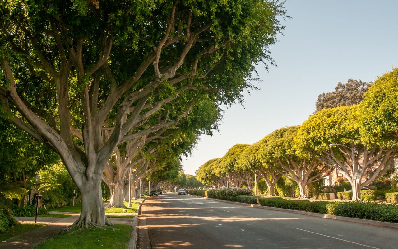
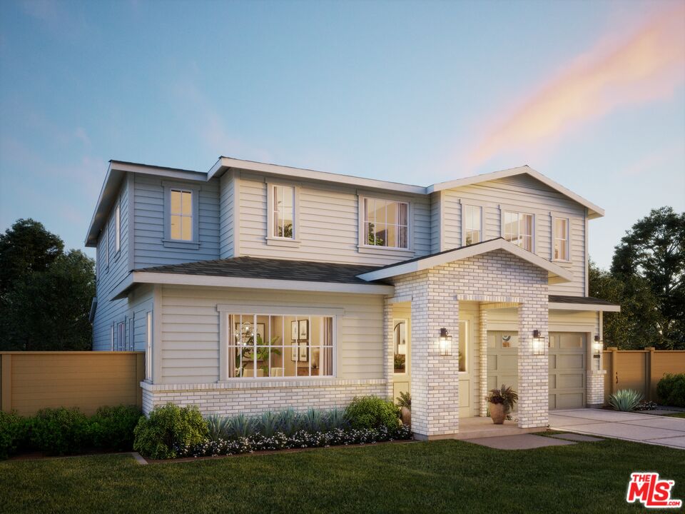
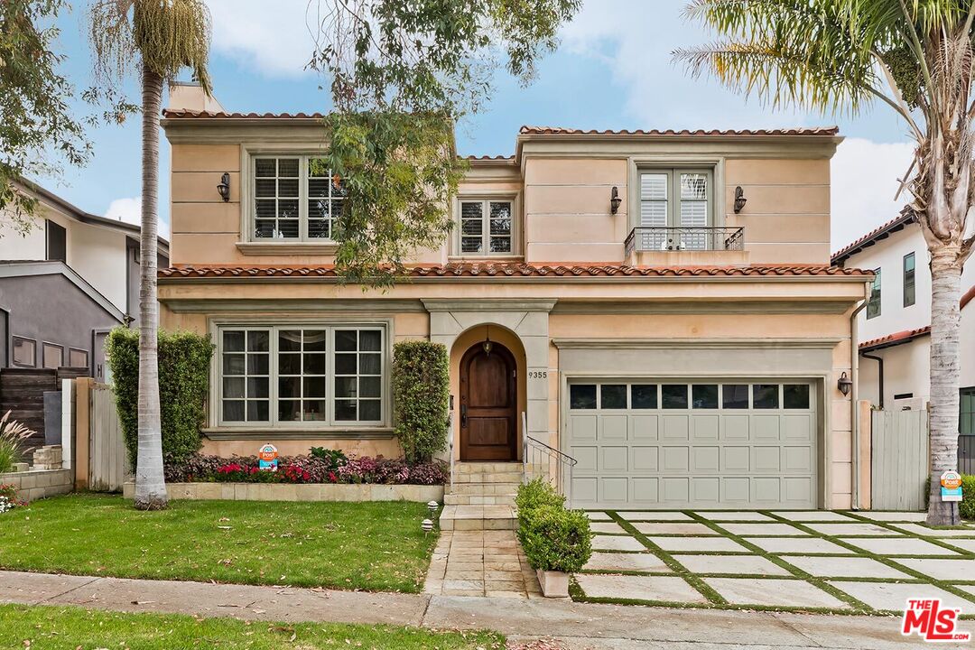
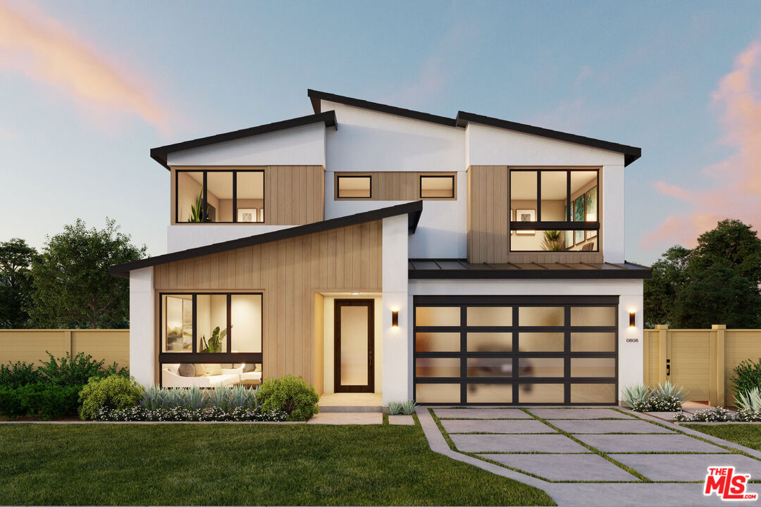
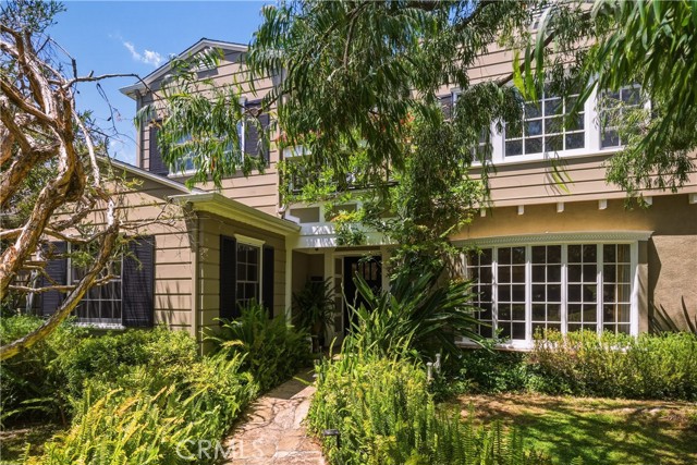
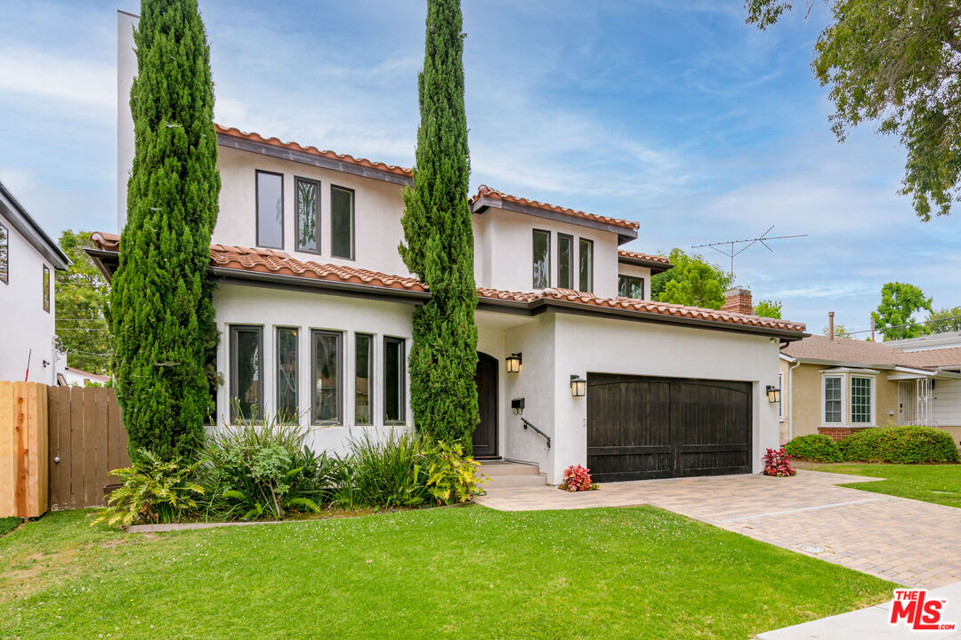
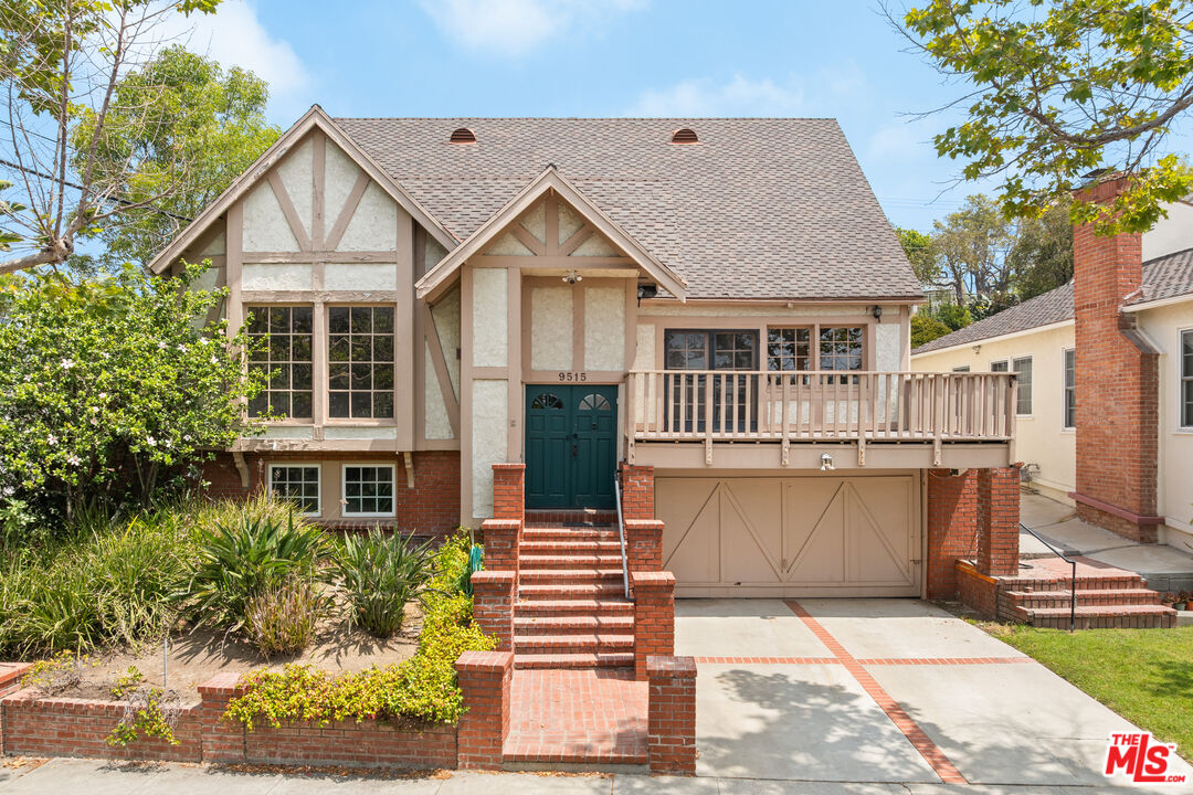
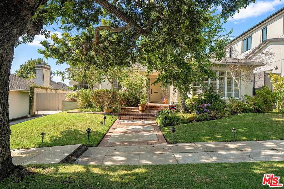
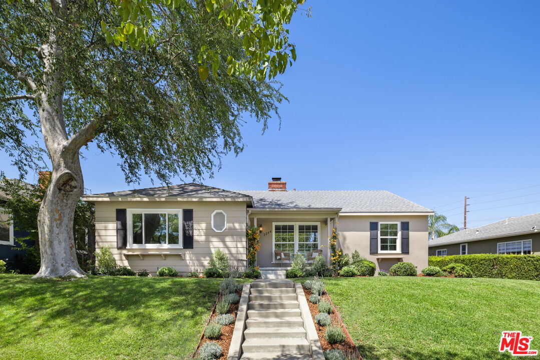
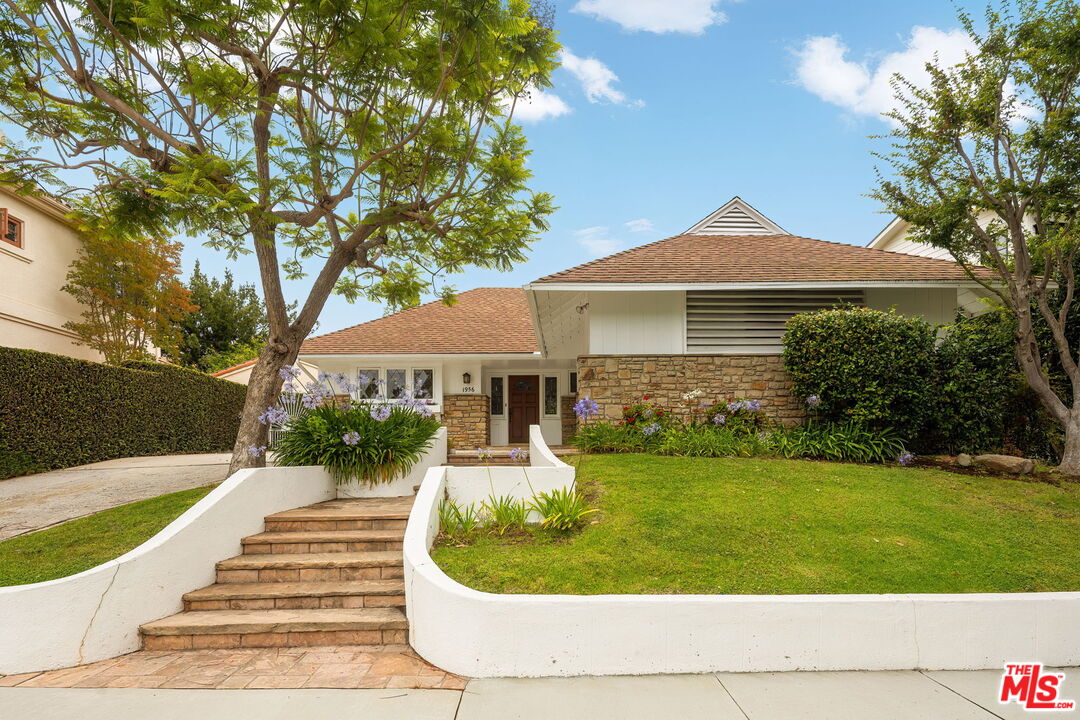
Leave a Message

Thank you for your message. We will be in touch with you shortly.

Beverlywood

It is a district on the Westside of the city of Los Angeles, California within the West Los Angeles subregion.

Welcome to Beverlywood

Beverlywood is a district on the Westside of the city of Los Angeles, California within the West Los Angeles subregion.
 
Beverlywood is bordered by Century City on the northwest, Cheviot Hills on the west, Palms on the southwest, Culver City on the south, Crestview on the east; South Robertson on the north. The district’s boundaries are roughly Robertson Boulevard on the east; the Culver City limits on the south; Beverwil Drive and the Hillcrest Country Club on the west; and Monte Mar on the north. Beverlywood’s principal thoroughfares are Venice, La Cienega, and Robertson Boulevards; Beverwill Drive, and Cadillac and Cattaraugus Avenues; as well as Pico Boulevard.

Property Listings

Search Homes

Overview for Beverlywood, CA

6,182 people live in Beverlywood, where the median age is 44 and the average individual income is $101,543. Data provided by the U.S. Census Bureau.

6,182

Total Population

44 years

Median Age

High

Population Density Population Density This is the number of people per square mile in a neighborhood.

$101,543

Average individual Income

Around Beverlywood, CA

There's plenty to do around Beverlywood, including shopping, dining, nightlife, parks, and more. Data provided by Walk Score and Yelp.

36
Car-Dependent
Walking Score
41
Somewhat Bikeable
Bike Score
38
Some Transit
Transit Score

Points of Interest

Explore popular things to do in the area, including Coach Jesse Oppenheimer, LookLike, and Morganreesfit.

Name Category Distance Reviews
Ratings by Yelp
Active 1.95 miles 5 reviews 5/5 stars
Active 3.56 miles 55 reviews 5/5 stars
Active 3.07 miles 6 reviews 5/5 stars
Active 3.17 miles 7 reviews 5/5 stars
Beauty 4.04 miles 7 reviews 5/5 stars
Beauty 1.45 miles 18 reviews 5/5 stars

Demographics and Employment Data for Beverlywood, CA

Beverlywood has 2,190 households, with an average household size of 3. Data provided by the U.S. Census Bureau. Here’s what the people living in Beverlywood do for work — and how long it takes them to get there. Data provided by the U.S. Census Bureau. 6,182 people call Beverlywood home. The population density is 12,765.728 and the largest age group is between 25 and 64 years old. Data provided by the U.S. Census Bureau.

6,182

Total Population

High

Population Density Population Density This is the number of people per square mile in a neighborhood.

44

Median Age

46.64 / 53.38%

Men vs Women

Population by Age Group

0-9: 16%

0-9 Years

10-17: 13.67%

10-17 Years

18-24: 4.37%

18-24 Years

25-64: 47.07%

25-64 Years

65-74: 9.01%

65-74 Years

75+: 9.9%

75+ Years

Education Level

  • Less Than 9th Grade 108 (3%)
  • High School Degree 297 (8%)
  • Associate Degree 798 (22%)
  • Bachelor Degree 1203 (34%)
  • Graduate Degree 1163 (33%)
2,190

Total Households

3

Average Household Size

$101,543

Average individual Income

Households with Children

With Children: 727 (33%)

Without Children: 1,463 (67%)

Marital Status

Married 46%
Single 19%
Divorced 5%
Separated 3%

Blue vs White Collar Workers

Blue Collar: 1%

White Collar: 99%

Commute Time

0 to 14 Minutes 8%
15 to 29 Minutes 14%
30 to 59 Minutes 13%
60+ Minutes 1%

Schools in Beverlywood, CA

Primary Schools (2)
The following schools are within or nearby Beverlywood. The rating and statistics can serve as a starting point to make baseline comparisons on the right schools for your family. Data provided by the U.S. Census Bureau.
Type
Name
Category
Grades
School rating
Castle Heights Elementary
PUBLIC
K - 5th
5/5
Canfield Avenue Elementary
PUBLIC
K - 5th
4/5
This page can't load Google Maps correctly.
Do you own this website?

WORK WITH US

With unmatched expertise and a client-focused approach, we guide you through every step of your real estate journey to make your vision a reality.

Follow Us on Instagram